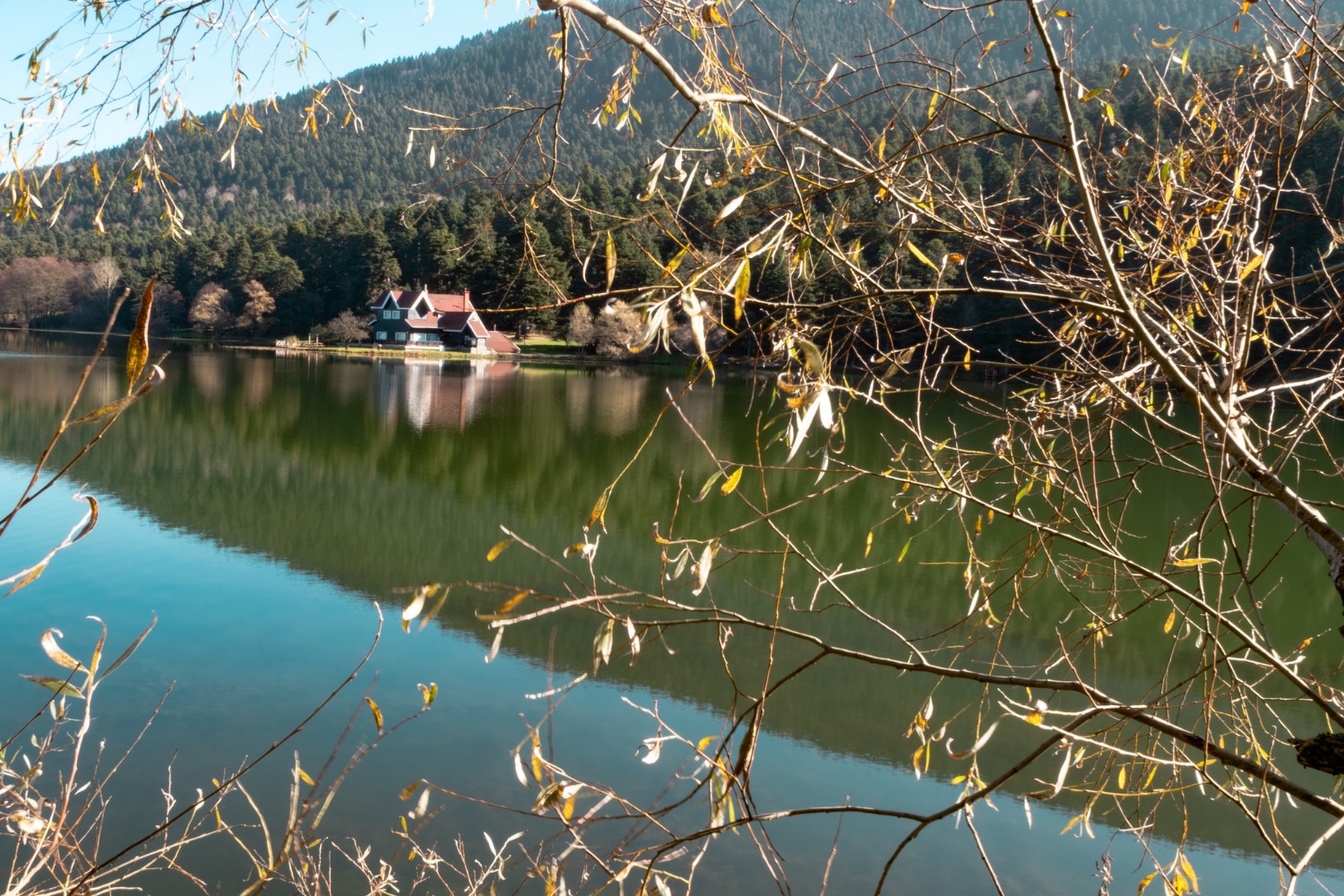
A cottage shoreline rarely looks exactly the same from spring to autumn. May can bring cold, high water that reaches into the grasses. By August, familiar rocks may stand well above the surface, and the end of the dock may sit over water that is shallower than anyone remembers.
These changes are part of life on the lakes of Central Canada. Snowmelt, rainfall, drought, wind, evaporation, drainage patterns, and water management can all influence what happens at the shoreline. On some Manitoba and Saskatchewan lakes, the difference is subtle. On others, it changes how people board a boat, enter the water, or reach the dock.
Problems arise when a waterfront is designed for one ideal water level. A fixed step becomes too tall when the lake drops. A gangway becomes too steep when the water rises. Anchoring lines tighten, boats begin touching bottom, and waves reach soil that was previously dry.
The strongest waterfronts do not attempt to hold the lake in one position. They allow for movement. Flexible connections, adaptable dock sections, thoughtful anchoring, protected shorelines, and regular observation keep the property useful as conditions change.
Preparing for fluctuating water levels begins with understanding what the lake has done before and creating enough flexibility for what it may do next.
Learn the Natural Range of Your Waterfront
A single visit cannot reveal how a shoreline behaves. Conditions on a calm July afternoon may say little about spring runoff, late-summer drought, or the effect of several days of strong wind.
Observe the property throughout the season. Note the high-water mark after snowmelt and the lowest usable depth during dry periods. Watch where waves strike the shore, where runoff enters the lake, and which parts of the bottom become exposed. Photographs taken from the same locations provide a useful record from year to year.
Talk with neighbours who have spent many seasons on the lake. They may remember unusually wet or dry years and understand how quickly conditions can shift in a particular bay. Local conservation authorities, watershed organizations, provincial agencies, and water-control authorities may also provide current or historical information.
Measurements do not need to be complicated. A marked piling, fixed shoreline reference, or written record of water depth at the end of the dock can reveal patterns. The goal is not to predict every change. It is to understand the likely operating range your waterfront must accommodate.
Design the Dock to Move With the Water
Fixed docks maintain the same elevation while the lake moves around them. That can work well where water levels remain stable, but it may create awkward boarding heights or unusable sections when conditions change significantly.
A floating dock rises and falls with the surface. This keeps the distance between the dock and water more consistent, which can improve boat boarding, swimming access, and paddling. It also reduces the need to reset dock height several times during the season.
The choice between fixed and floating sections depends on more than water level. Lakebed conditions, wave exposure, depth, winter ice, access, and intended use all matter. Nor Col’s guide to choosing between fixed and floating dock sections explains how these factors influence the decision.
Modular systems add another layer of flexibility. Sections can often be moved, extended, or rearranged when shallow water pushes usable access farther from shore. That does not mean every low-water year requires a larger dock. It means the layout can respond without forcing a complete rebuild.
Give the Gangway Room to Adjust
The gangway connects two different environments. The shoreline remains relatively fixed while a floating dock moves vertically and responds to waves. If that connection cannot change angle freely, stress builds in the hardware and walking surface.
A gangway should be long enough to maintain a manageable slope through the expected water-level range. A short gangway may feel comfortable at average water but become steep during high or low conditions. Handrails add confidence when the angle changes or the surface becomes wet.
Connections at both ends must allow the movement intended by the design. Hardware that binds, twists, or pulls against the shore can damage the dock and make the transition less stable. Inspect hinges, rollers, pins, brackets, and shore attachments after large changes in water level.
The landing area also requires attention. High water can soften soil near the connection, while low water may expose a drop between shore and gangway. Stable footing, good drainage, and protected vegetation help keep this transition usable throughout the season.
Anchor for Movement Without Allowing Drift
Anchoring must hold a floating dock in position while still allowing it to rise, fall, and respond to waves. An anchoring system that is too loose permits excessive movement. One that is too tight may place unnecessary strain on connections as the water changes.
The right system depends on the lakebed, water depth, dock size, wave exposure, and direction of prevailing winds. Soft sediment, firm sand, and exposed rock require different approaches. Anchors must also account for the loads created by boats, lifts, ports, and people.
Check lines, cables, chains, poles, and attachment points several times during the season. Water-level changes can alter their working angle or tension. Major storms deserve an additional inspection, even when the dock appears normal from shore.
Nor Col’s guide to anchoring a floating dock in rocky or shifting lakebeds discusses common anchoring methods and the importance of seasonal adjustment. If a dock begins drifting, twisting, pulling hard against one connection, or sitting unevenly, address the cause before adding more weight.
Protect the Shoreline During High Water
High water allows waves to reach soil and vegetation that are normally above the active shoreline. Boat wakes and strong winds can then remove exposed soil, undermine paths, or weaken the place where the dock meets land.
Healthy native vegetation forms one of the best natural defences. Roots hold soil, while stems and leaves slow runoff. Clearing the shoreline to create an open view may make it more vulnerable when water rises. Preserve established plants where practical and avoid repeated foot traffic through soft areas.
Drainage from roofs, driveways, and slopes should lose speed before reaching the lake. Fast-moving runoff carries soil and nutrients with it. Downspout extensions, vegetated swales, stable paths, and other site-appropriate measures can redirect or slow the flow.
Some properties may require rock protection, engineered stabilization, or other shoreline work. These projects should be designed for the specific site and completed only after confirming applicable permits and environmental requirements. Nor Col’s article on preventing shoreline erosion around a dock offers a practical overview of vegetation, drainage, and shoreline protection.
Prepare for Shallow Water Without Damaging the Bottom
Low water creates different challenges. Boats may touch bottom, propellers may stir sediment, and swimmers may encounter rocks or submerged objects that were safely below them earlier in the season.
Measure depth along the boat’s full approach rather than only beside the dock. A shallow ridge farther out may become the true limit. Reduce speed near shore and avoid powering through mud, weeds, or sensitive habitat. If a route is no longer deep enough, use a different access point rather than repeatedly disturbing the bottom.
Recheck swimming areas as levels fall. Diving locations must be reassessed, even if they have been used for years. Ladders should continue to reach far enough below the surface for a swimmer to find the bottom rung easily.
On gradual shorelines, a longer or reconfigured floating system may help maintain access to usable depth. Nor Col’s guide to dock options for shallow Manitoba lakes explains why floating and modular designs are often useful where depth changes through the season.
Adjust Boat, Lift, and Paddling Access
A dock may remain usable while its accessories stop working properly. Boat lifts, PWC ports, kayak launches, ladders, and guide systems all depend on appropriate depth and alignment.
Check boat-lift clearance as the lake falls. The hull, propeller, lift frame, or bunks must not contact the bottom. In rising water, confirm that cables, guides, electrical components, and shore connections remain within their designed operating range.
Boat lines and bumpers may also need repositioning. A line set during high water can pull at an awkward angle after the lake drops. Bumpers must remain where the hull actually contacts the dock, not where it sat earlier in the season.
Floating kayak and canoe launches can maintain a consistent relationship to the water, but the route beyond the launch still requires adequate depth. Remove stones, branches, and other loose hazards only when doing so is permitted and environmentally responsible. Never excavate or alter the lakebed without confirming applicable rules.
Inspect After Every Significant Change
Changing water levels rarely damage a waterfront all at once. More often, they create small warning signs. A gangway rubs against its landing. One anchor line becomes tight. The dock sits closer to the shoreline, or a float begins touching the bottom.
Walk the waterfront after heavy rain, extended drought, strong wind, or a noticeable change in lake level. Look at the entire system, including the shoreline, approach, gangway, flotation, anchoring, boat access, and swimming area.
Watch for tilting or unusually low dock sections. Uneven flotation can become more noticeable when the bottom or anchoring begins influencing the dock. This guide to spotting common dock flotation issues describes several signs that deserve attention.
Keep a basic adjustment kit at the cottage with the correct tools, approved replacement hardware, gloves, and manufacturer instructions. The objective is not to redesign the waterfront after every storm. It is to correct small issues before they become structural problems.
Frequently Asked Questions
Why do lake levels change during the cottage season?
Levels can change because of snowmelt, rainfall, drought, evaporation, wind, incoming and outgoing water flow, and water-control operations. The influence of each factor depends on the lake. A sheltered bay may also appear higher or lower than another shoreline during prolonged wind.
Are floating docks better for changing water levels?
Floating docks often perform well because they rise and fall with the water. This helps maintain a consistent height for swimming and boarding. They still require suitable anchoring, enough depth, a properly designed shore connection, and a plan for winter conditions.
How often should I adjust my dock anchors?
There is no universal schedule. Inspect the anchoring at spring installation, after major storms, during significant rises or drops, and before fall removal. Adjust only according to the design of the system, since both excessive tension and excessive slack can create problems.
What should I do when water becomes too shallow for my boat?
Stop using the route before the hull or propeller begins contacting the bottom. Measure the entire approach and consider a safer location, altered dock configuration, or different watercraft access plan. Avoid dredging or disturbing the lakebed without proper review and authorization.
Can I add rock to stop high-water erosion?
Rock protection may be appropriate for some shorelines, but poor placement can redirect wave energy and move erosion elsewhere. Shoreline work may also require permits or approvals. Begin with professional site advice and confirm applicable provincial, municipal, park, and environmental requirements.
How can I tell whether changing water levels are damaging my dock?
Warning signs include tight or slack anchor lines, uneven sections, binding gangway hardware, twisting connections, floats touching bottom, increased movement, or a boat no longer meeting its bumpers correctly. Photographing the dock at different water levels can make gradual changes easier to recognize.
Work With the Lake, Not Against It
Waterfront living teaches patience. The lake does not remain at the level most convenient for the dock, boat, or weekend plans. It responds to weather, seasons, and the larger landscape around it.
A well-prepared waterfront accepts that movement. Floating and modular components adjust, anchoring guides rather than fights, and a healthy shoreline absorbs changing conditions. Regular observation ties the entire plan together.
When the waterfront can adapt, cottage owners spend less time reacting to the lake and more time enjoying it. The result feels natural because it is designed around the way the water actually behaves.
Nor Col Dock Solutions (formerly Nor Col EZ Dock) serves Central Canada, including Kenora, SK (Saskatchewan), Manitoba, and Northwest Ontario. Contact our team today on our contact page or follow us on Facebook to start planning your perfect waterfront.